Category Archives: 2012

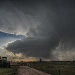
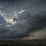
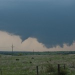
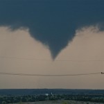
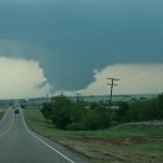
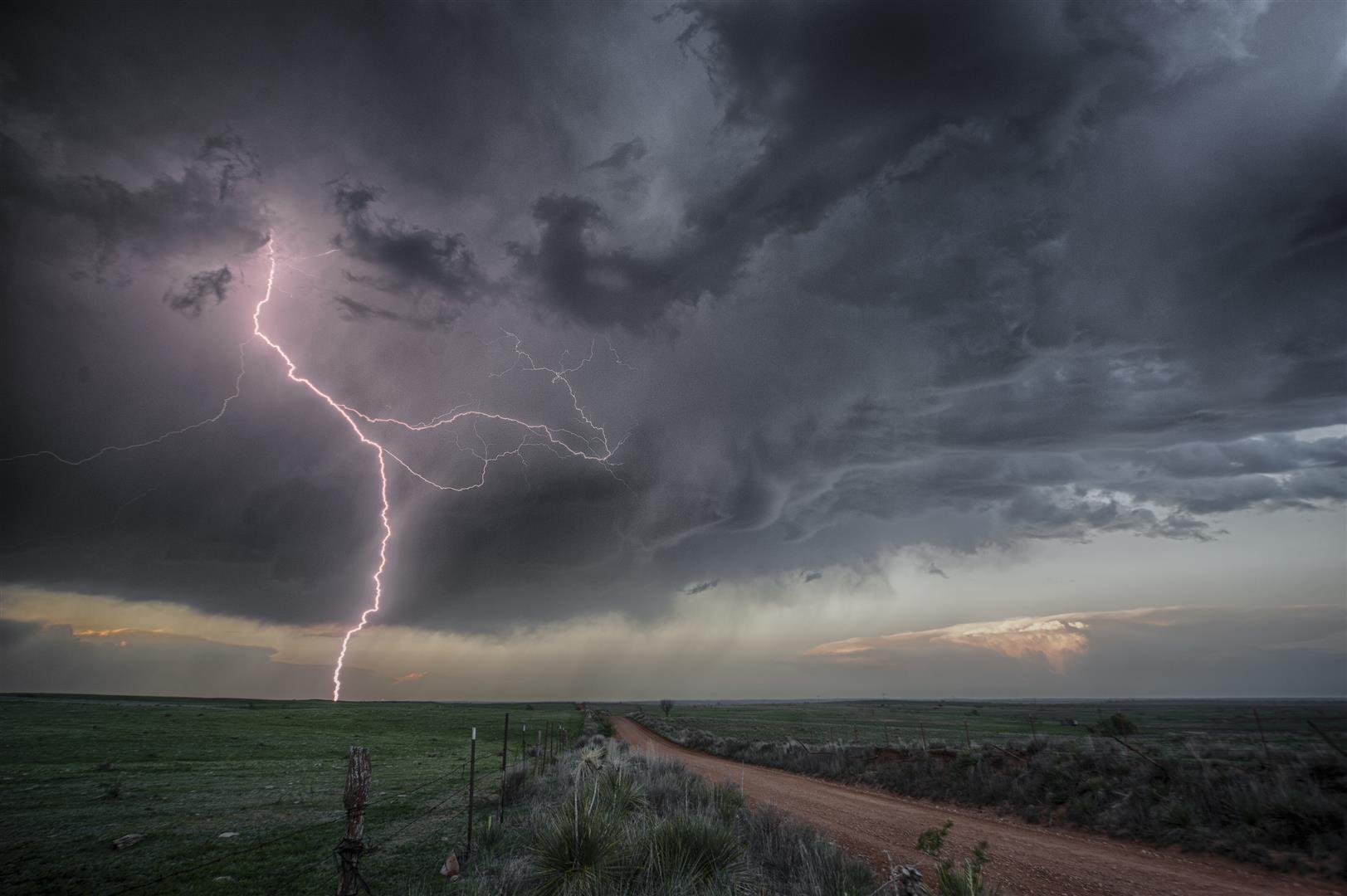
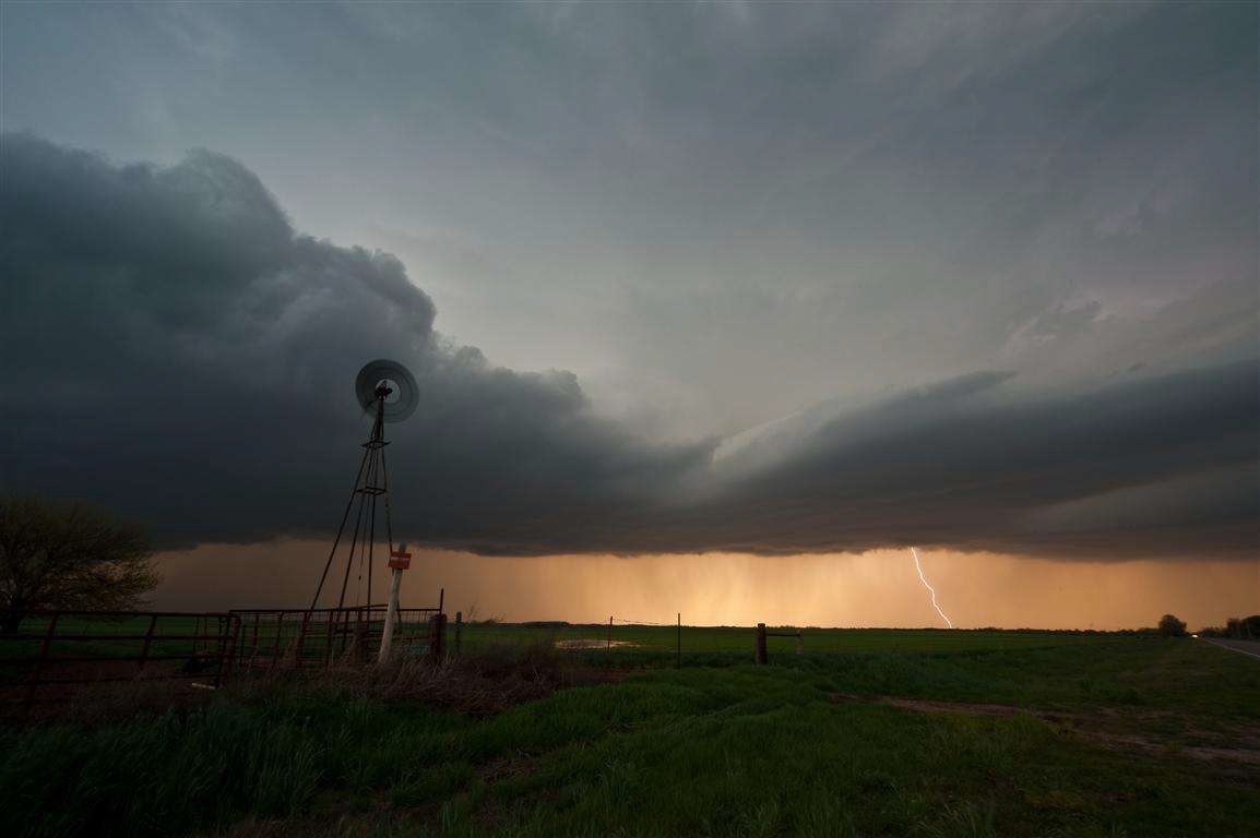
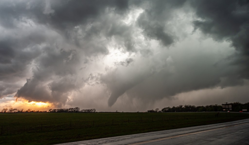
Backyard supercell – May 29, 2012

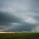
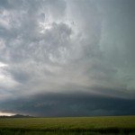
High instability and moderate flow aloft created conditions favorable for supercells – not too far from home.  The target area was close enough to monitor satellite trends during the early afternoon before pulling the trigger on getting out the door.

It became clear that the area near Seiling would be a good spot to start from.  A storm started forming just to our east over extreme Northeast Dewey County.  This was our first and only target storm of the day.  It moved slowly east initially, becoming severe near the Major/Blaine county line.

At first, the storm looked a little ragged and disorganized visually and on radar.  It looked a little better as it passed just north of Okeene, and we found tennis ball size hail falling four miles north of Okeene.  The storm then made its expected turn to the southeast and we started to zig zag through Kingfisher County.

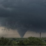
We got hit by more hail – this time to baseball size – near Lacey. When we finally got clear of the core, it was evident that the storm was becoming better organized.  It looked its best just northwest of Kingfisher where it had excellent supercell structure, a rotating wall cloud which looked capable of producing a tornado, and continued to throw out extremely large hail.  We had a vortex spin up about 50 feet to our north which overtook the car and moved southeast. I still don’t know if this was a tornado or gustnado.  Either way, I estimate that winds briefly reached about 80 mph with the feature filling the car with straw and dirt.

About five miles east of Kingfisher we came across a swath of very large hail – this time to softball size.

As we closed in on Okarche and got closer to sunset, it looked like we were in a good spot to call it a day and avoid playing with a storm that could have easily taken out all of our windows.  It was a short but eventful day that had just about everything that you would want from a chase.

A Kansas supercell – May 27, 2012

Kind of a long day with minimal results.  Doug and I headed basically due north and eventually northwest making it barely into Nebraska around Franklin. There were numerous showers and thunderstorms which formed along a front from Western Iowa – southwestward into Kansas.  We saw a few storms with brief supercell structure, but for the most part we were left unimpressed.  Tornado producing storms occurred in Nebraska, but our storms were ingesting a lot of hot air over Kansas and were high based.

Southwest Oklahoma beauty – May 19, 2012

While conditions for tornadoes were only marginal, this was one of the first opportunities for a chase in over a month.  Low pressure was located over far Northwest Oklahoma and a dryline extended southward near the Texas/Oklahoma border.  There were some moderately strong mid level winds, but moisture was a little less than ideal and strong surface heating resulted in large temperature/dew point spreads – and high cloud bases.

We drove northwest to near Vici and watched as towering cumulus formed along the boundary over Northwest Oklahoma.  Development was slow but steady and eventually we had high based severe storms just to our west.

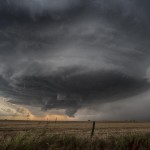
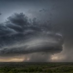
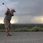
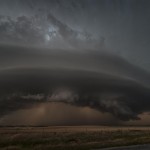
These storms never had decent structure and despite their appearance on radar, were not producing very much visible lightning.  We worked south through Western Dewey and Custer Counties – eventually finding an isolated storm in Southern Roger Mills County.  Our timing was perfect.  The storm became more and more organized as we watched it become a beautifully sculpted supercell.  The storm was only moving about 5 mph to the east and we played around in front of it as it approached.  We literally played around and I even shot a couple of golfballs at it.  It responded by pounding us with golfball size hail near Carpenter.

We moved east ahead of the storm and got to see some good structure just northeast of Weatherford before calling it a day. Overall, a short chase with decent results.

Northwest Oklahoma tornado outbreak – April 14, 2012

Model forecasts for several days strongly suggested that a widespread outbreak of severe thunderstorms and tornadoes was going to occur this day across the Plains.  While the location of the most severe weather in Oklahoma ended up being a little farther northwest than forecast, the event otherwise unfolded as expected.

There was deep surface low pressure over the Central Plains, a very wide warm sector that was unusually moist and very unstable, and a strong mid-level jet with a wide swath of high winds overspreading all of the area that was most unstable.  Even if any particular parameter came up short of forecast, all basic tornado producing ingredients were going to be strong or extreme.  Looking back, Kansas was the most likely spot for tornadoes – located in between Nebraska where things looked to become messy with too many storms, and Oklahoma where there was a possibility that strong capping could limit storm coverage.  The atmosphere supported a tornado threat with any storm that was inserted and Kansas was the most likely spot to have the perfect balance.  Because of chasing the previous day, and work this morning, I was going off of little or no sleep for the previous 36 hours.   A Kansas trip seemed a bit too far for me and I focused on Oklahoma with the hope that a few storms could get rolling.

The dryline in the early afternoon showed bubbling as far south as Childress, TX, so we decided that a trip into Northwest Oklahoma was warranted.  By the time it was over for us, we observed three supercell storms and nine tornadoes.  The storms were forming in roughly the same spot and tracking northeast which made it easy for us to jump on the next one in line.  The last storm of the day for us was the last because it was the last to develop in that area. Otherwise, we could have continued chasing for I don’t know how long.

We got into Woodward and refueled, with an established supercell to the north and another forming southwest of the city.  The one to the north would have been a challenge to chase down, so we targeted the second supercell by moving a few miles north of Woodward on Highway 34.  The storm exhibited classic supercell characteristics with a lowered base and a lot of motion as it approached.  We had only been parked for about 10 minutes when the first tornado developed to our distant west southwest.  As was going to be typical for most of the tornadoes this day, it only lasted for a couple of minutes and never formed condensation to the ground.  Tornado number one occurred at 3:49 pm about four miles southeast of Fort Supply.

We moved north a few miles and watched a new wall cloud form and approach Highway 34 just to our northwest. This wall cloud had extremely impressive rotational motion and produced tornado number two at 3:59 pm about 14 miles south southeast of Selman.  While again brief, we saw power line flashes and signs that a structure was blown apart with a vortex under the wall cloud. With no easy way to cross the Cimarron River, we decided to go north through the backside of core and then east on Highway 64 to intercept the storm near Camp Houston. This took us through the path of some extremely large hail that was on the ground southeast of Selman.  A few large stones were still falling and while we didn’t stop to measure, it appeared that several were the size of softballs.

We came out of the core a few miles northwest of Camp Houston and found ourselves just northwest of a strongly rotating and low hanging wall cloud.  Once again, the motion associated with it was incredible.  While driving east, a tube shaped tornado formed just to our northwest.  Tornado number three was about 5 miles north of Freedom and occurred at 4:40 pm.

The storm seemed to be losing some of its punch and the road network started turning bad, so we selected a new target storm which was moving out of Ellis County into Southwest Woodward County.  After moving east and then south through Waynoka, we dropped to Highway 412 and drove west passing the road to Quinlan.  We didn’t have to wait long before a well structured supercell came into view.  The wall cloud to our southwest had incredible motion as it passed a few miles to our west and north.  At 6:15 pm, there was enough motion, evidence at cloud base and vortices to consider this tornado number four.  The location was about eight miles northeast of Mooreland.  The wall cloud continued to put on a nice show as it tracked northeast, but by this time the area had become flooded with storm chasers.  Since no large tornado was occurring and traffic was getting bad, the decision was made to target the next storm in line instead of trying to keep up with storm number two.

We drove south on Highway 281 a few miles and stopped to observe what was one of the smallest storms of the day, although it still had very nice structure.  This time, no significant wall cloud was evident.  Despite that, it didn’t take long before tornado number five formed.  Following the theme of the day, this tornado was brief and small.  It did have brief condensation to the ground and a nice debris cloud for a time.  It occurred at 6:50 pm and was about seven miles east of Mooreland.

Almost immediately after this tornado weakened, a strongly rotating wall cloud formed a few miles to its east.  Tornado number six occurred about 13 miles east northeast of Mooreland at 6:50 pm and showed brief signs of multiple vortices.  The wall cloud became very large, very low to the ground and was strongly rotating as we followed it back north on Highway 281.  As we approached Highway 412, a large cone tornado formed.

Tornado number seven was observed for 12 minutes as it tracked from about four miles south southeast of Waynoka to about four miles east southeast of Waynoka. Toward the end of its life, another tornado formed to its northeast and was on the ground for about two minutes.  Tornado number eight was about six miles east of Waynoka.  With the road blocked by law enforcement and a lot of chasers on the roads, we decided to let this storm go and call it a day. Before leaving our last position a few miles east of the Highway 412/281 junction, we observed tornado (number nine) distant northeast.

We observed this fairly large tornado for about 10 minutes but it was likely still on the ground for several more minutes/miles.  It appeared to form about 11 miles west southwest of Dacoma at 7:32 pm.

Despite the incredible environmental conditions, most of the tornadoes we observed were small, brief, and rarely showed condensation to the ground.  Also, it was a bit disappointing that we didn’t come away with better photography than what we did.  It seemed like trees, hills, power structures, and mesas were always in the way.  I have driven by the Glass Mountains in Western Major county a hundred times and thought how awesome it would be if I could get a tornado there. Well, we got several and the mesas always obscured our view.  Still, it was a very productive day that took little in the way of effort for some nice success.
Southwest Oklahoma supercells – April 13, 2012

A volatile day for portions of Southwest and Central Oklahoma with an extremely unstable atmosphere in place, and a significant increase in mid-level flow noted over the previous 24 hours.

Storms started forming early in the afternoon and we first drove south targeting a storm in Grady County.  This storm exhibited supercell characteristics as it moved north of Chickasha.  It was moving pretty quick and we made our one stand near Highway 81 with the feeling that we didn’t want to chase it into the metro area. It ended up crossing the river and moving into Norman where it produced a fairly long track EF1 tornado.

After the storm left our view, we started targeting various storms across Southwest Oklahoma.  The first was a nice looking, but fairly small supercell just south of Hobart.  It had a lot of things that we were looking for, but never seemed to get its feet under itself.  While we were near Babbs, a storm to our southwest rapidly increased and started producing tornadoes near Blair.  This would have been an easy storm to target, but quickly became HP in nature and almost impossible to view a tornado without getting crushed by what appeared to be baseball size hail or larger.  We hung around as long as we could and then escaped to the north of the storm.

Thinking our day was done, we stopped for food in Clinton and started the trip back east on I-40. The Blair storm had regained some structure after leaving the Wichita Wildlife Refuge and started producing tornadoes again across Southern Caddo County. We made one last effort to see a tornado by dropping south through Anadarko.  Before we could get into position, another storm on its rear flank slammed into it and our day was over.

Texas Panhandle storms – April 2, 2012

We knew that this would be a day where a lot of things had to come together for there to be the kind of storms we were looking for. Basically, that didn’t happen.  By the time there was good convergence along the dryline, the moisture wasn’t there.  When good lifting overspread the warm sector, storms formed in the dry air and started out high-based – never recovering.

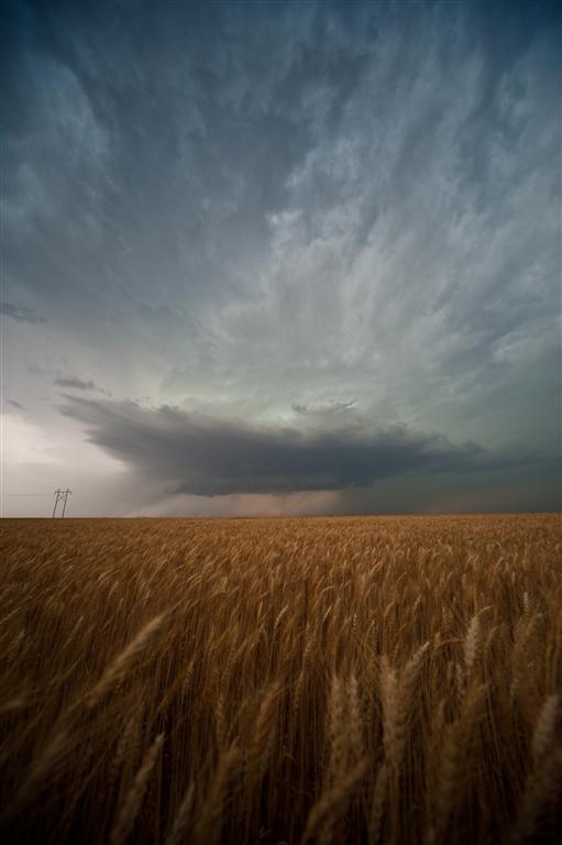
One of the more impressive looking storms was actually about 80 miles to our northeast in northwest Oklahoma.

Northwest Oklahoma severe storms – March 29, 2012

A nearly stationary surface boundary was located over Northwest Oklahoma with a very unstable atmosphere east of the boundary over most of the state.  Winds aloft were not very impressive, but given the degree of instability, it appeared that if storms formed they would quickly become severe and have a shot at producing some nice structure – lightning – and an outside chance at a tornado.

I made my way into Northwest Oklahoma through the Glass Mountains and ended up watching severe storms from southwest of Waynoka – southwestward to near Mooreland and Woodward.  For the most part, the storms were high based, and displayed only a few decent structures.  One storm between Sharon and Woodward began to rotate strongly at cloud base just after sunset.

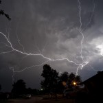
While lightning was nearly continuous, cloud to ground lightning was hard to come by.

Southwest Oklahoma tornadoes – March 18, 2012

After getting very little sleep the night before, I almost sat this chase out.  I have become quite aware of driver fatigue over the past couple of years and thought that it may be a bit too far since I was running solo.  However, after an early afternoon nap and a check of data around 2 pm, I was convinced that there were going to be a couple of interesting storms and a few tornadoes.  I had my second wind and rolled out the door just a little after 3 pm.

My route west was a casual one – taking the scenic jaunt through Watonga, Thomas, Custer City, and Butler.  I had the feeling that good storms could form along the dryline from near Shamrock, TX northward to the Eastern Oklahoma Panhandle.  There were already severe storms occurring over the Southeast Texas Panhandle and Northwest Texas, but I was looking for something a little more convenient.

At Butler, I had to make the decision to stick with this feeling or start committing to storms moving into the far southwest corner of the state.  After some head scratching and discussion with Doug Speheger, I started making the move southwest.

A supercell storm had moved into Harmon County about the time I reached Carter, OK.  Things still looked a little messy and I took my time driving south to Highway 9 and then west to Reed, OK.

Along that path, the storm updraft came into view and looked more and more impressive with each passing mile.  I saw one funnel cloud and a lot of motion in the lowered base of the updraft.

I took up a position just south of Reed and watched the storm continue to organize as it approached.  There was off and on hail which reached golf ball size, but the main core was off to the northwest and I had good visibility.  I ran into Hank Baker in Reed and we decided to move east a couple of miles to stay ahead of the hail.

Around 6:50 pm, the storm went through a rapid evolution from looking pretty average to having a rapidly rotating mesocyclone.  A tornado formed on the south side of Highway 9 and moved across the highway to the north northeast.  For a period of time, this tornado looked quite large as it moved into a region with few paved roads.  I headed back east to Highway 34 and then north to continue the chase.

Along the way, I got far enough away from the storm to see some amazing structure.

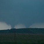
While on the move, I observed a brief tornado a few miles west southwest of Brinkman.  I got in front of the storm near Willow and once again got to see some incredible storm structure and a mesocyclone evolution which produced a tornado about four miles west northwest of Willow.  I moved a couple of miles to the north and watched the final tornado form about five miles northwest of Willow.  This tornado was on the ground for about five minutes and was the most photogenic of the day.

Needless to say, it was a good way to blow the cobwebs out of everything and get this year off and running. It looks like it will be a year where gas prices will play heavily in the go/no go chase decision and having good results are almost a necessity.