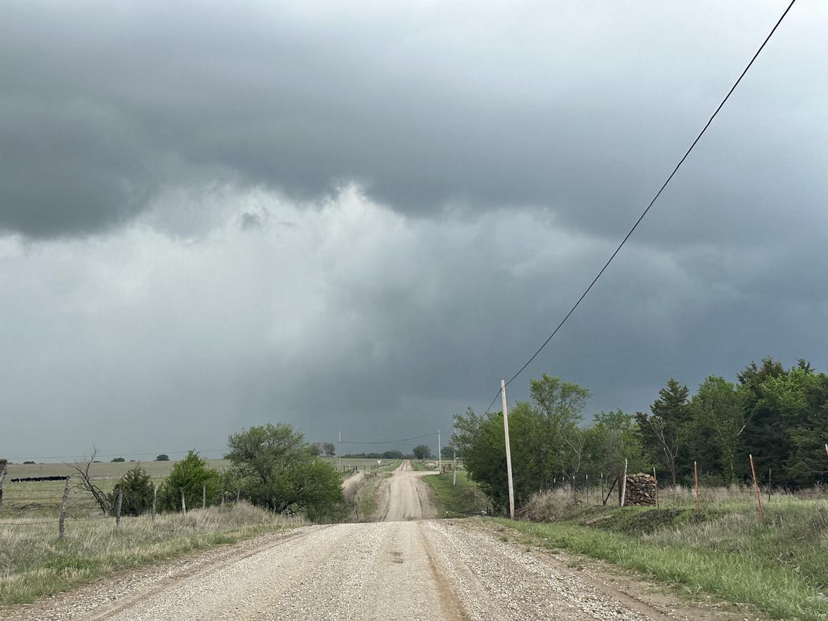
Deep low pressure tracked from northern Kansas toward western Iowa during the day, and for the first time this season, rich low level moisture was found across the state. The main tornado show on the day was in Nebraska and Iowa, but we did find a small gem over southeast Kansas. Storms began forming near Moline, KS and it didn’t take them long to become severe. Our first encounter with an established supercell was just northeast of Longton:
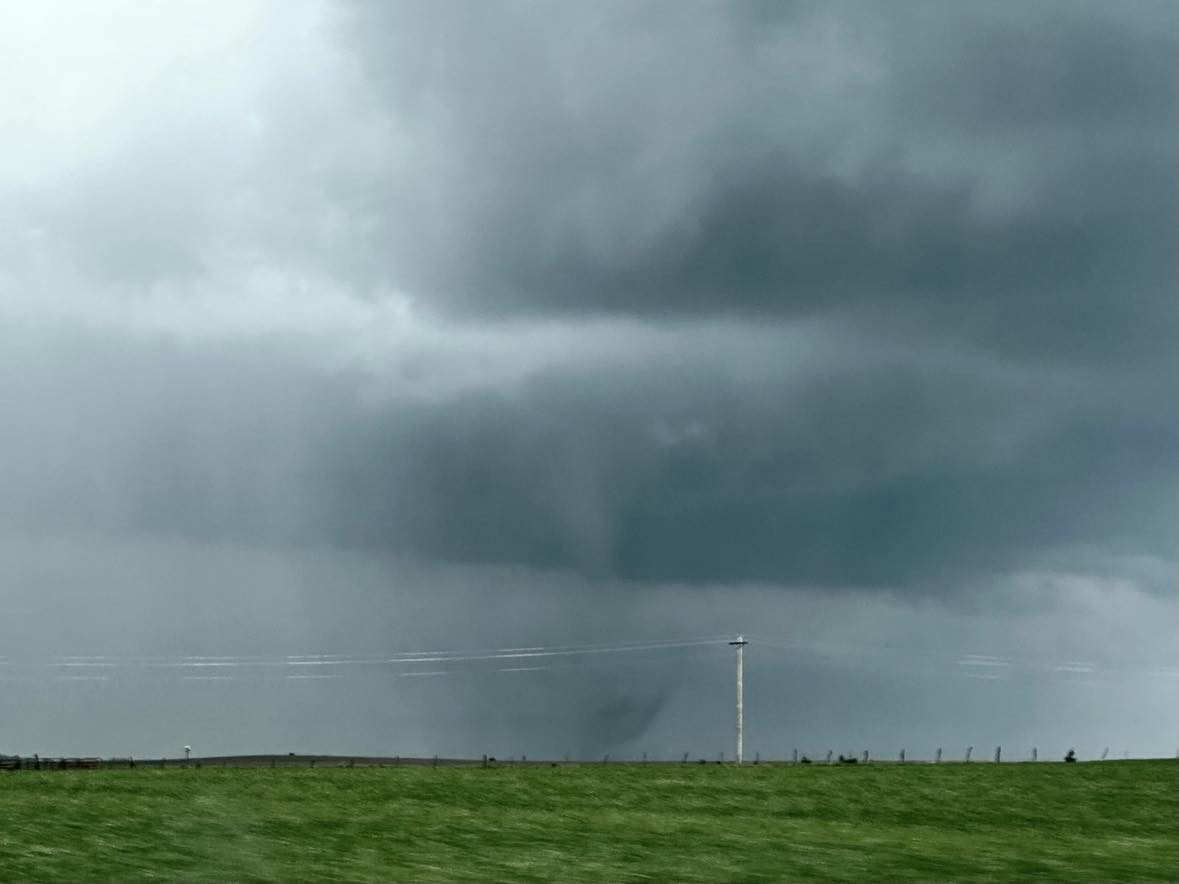
We first noticed a ground circulation to our northeast from 2.0 miles west southwest of Buxton at 3:42 pm CDT. A short time later, a condensed tornado appeared:
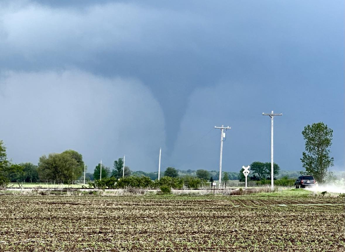
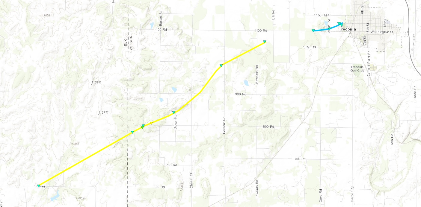
The tornado ended up being rated EF2 as it tracked from Elk into Wilson County.
We observed another brief tornado at 4:22 pm CDT about 5 miles east of Benedict. We also measured hail to 1.86″ and 1.88″ at stops near Moran.